The G. William Baist Company of Philadelphia, Pennsylvania, published three large atlases of Columbus in 1899, 1910, and 1920. These atlases and their maps were created for utilitarian purposes: Baist’s maps were for real estate title searches and include detailed building, subdivision, infrastructure and street data. They were beautifully designed and colored, and produced for dozens of U.S. cities, but in small quantities. Most were heavily used, annotated, and worn out. Few survive in good condition. The maps from Baist’s Atlases below were scanned from three of the few remaining copies of these Atlases, in the collections of the Columbus Public Library and Ohio History Connection. Baist’s Atlases of Columbus provide a significant source of information to assess historical urban change.
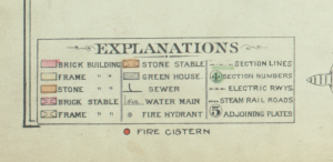
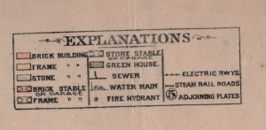
Legends for Baist’s Atlases:
| 1899 | 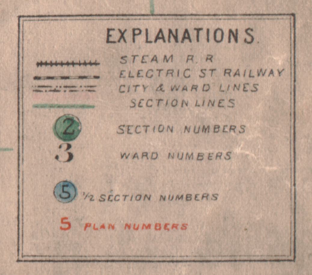 |
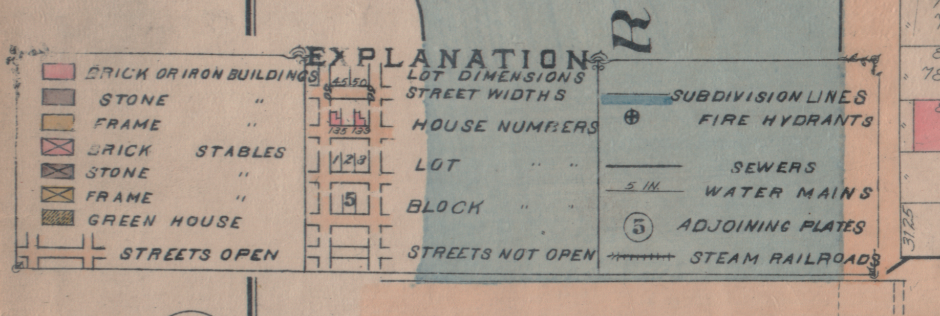 |
| 1910 | 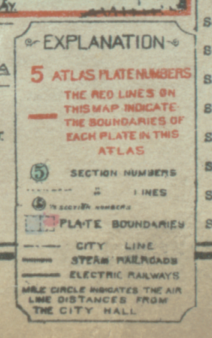 |
 |
| 1920 | 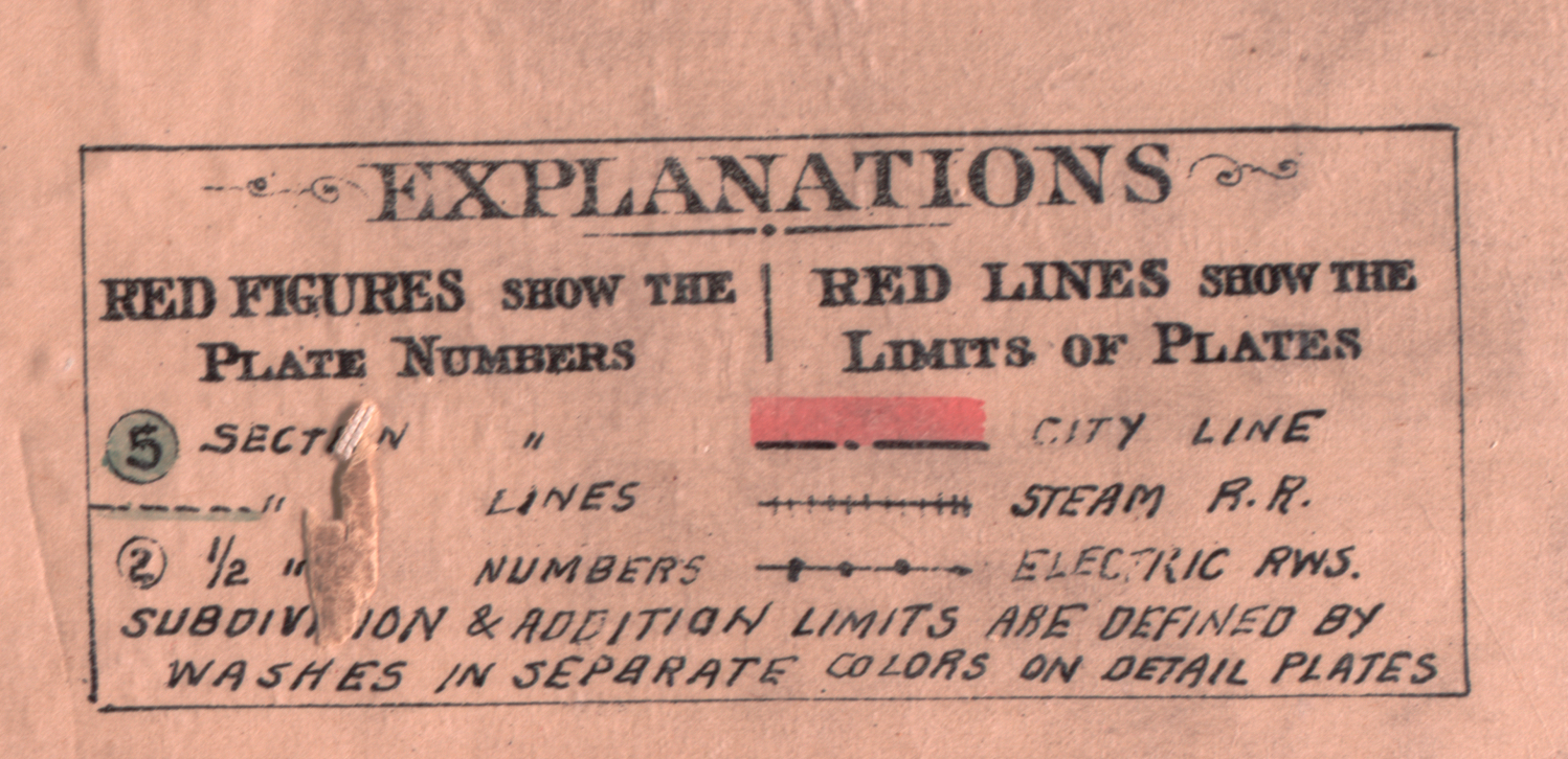 |
 |
High-resolution scans of the 1899, 1910 and 1920 Baist’s Atlases in TIFF and PDF formats are available at Ohio Wesleyan University’s Digital Collections.
Source: Baist’s Property Atlas of the City of Columbus and Vicinity, Ohio, 1899. Philadelphia: G. William Baist Company, 1898.
Your map page does not load any longer
Working on restoring the crashed server. Hopefully maps will be back soon.
They were up Friday but are down again.
Working again!
Your maps are down again.